Drones in higher education
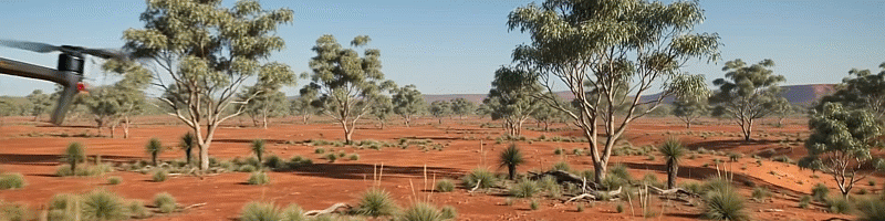
Drones are increasingly used in higher education to enhance teaching, research, and practical fieldwork across many disciplines. Flinders University is no exception. In archaeology, drones allow students and researchers to capture high-resolution aerial imagery of excavation sites, helping to map ancient structures and identify hidden features without disturbing the ground. In biodiversity studies, drones can monitor wildlife populations and vegetation patterns in remote or sensitive ecosystems, providing real-time data while minimizing human impact. In coastal management, they are used to track shoreline changes, erosion, and the effects of climate change, enabling more accurate and timely environmental assessments. Similarly, in surveying, drones equipped with GPS and imaging technologies can quickly produce detailed topographic maps and 3D models, improving efficiency and accuracy compared to traditional methods. Overall, drones offer innovative, hands-on learning opportunities and expand the scope of research in higher education.